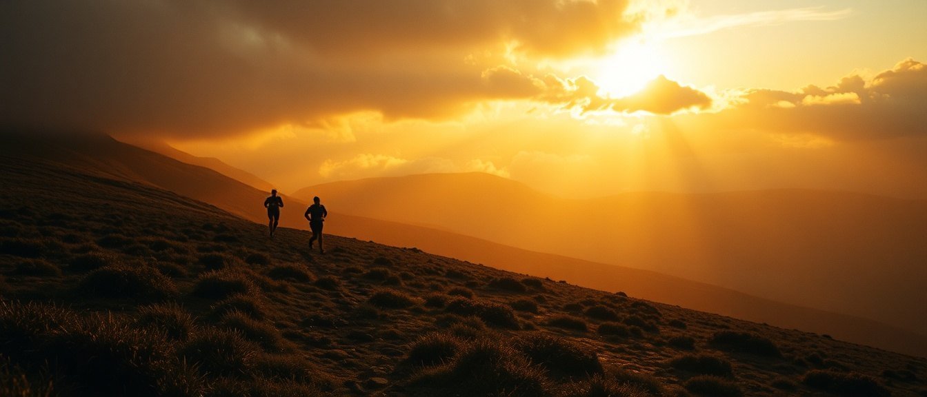
United Kingdom · 53.3655°N, 1.8164°W · summit 636 m (2,087 ft)
Kinder Scout Night Run
Sat–Sun · 14–15 Nov 2026
Edale · village hall basecamp
3 races, one night, one fire
Choose your race. The numbers below change with it.
→
12K NIGHT
technical grade 2 / 5True distance
12.3 km
7.6 miles
Vertical gain
+520 m
+1,706 ft
Vertical loss
−520 m
−1,706 ft
Highest point
517 m
1,696 ft
Technicality
Flagged path over Mam Tor and along the ridge to Lose Hill. Stone slabs most of the way, slick when wet.
Elevation profile · 12.3 km (7.6 miles)
Route file & maps
It finishes in Hope, not back in Edale. The last bus over is at 21:40 and it is in the GPX notes.
Mandatory kit · checked at start
→
24K
technical grade 3 / 5True distance
24.6 km
15.3 miles
Vertical gain
+980 m
+3,215 ft
Vertical loss
−980 m
−3,215 ft
Highest point
636 m
2,087 ft
Technicality
Up Grindsbrook, round the southern edge of Kinder and off by Jacob's Ladder. Peat, gritstone and one hands-on clough.
Elevation profile · 24.6 km (15.3 miles)
Route file & maps
The edge path splits near Crowden Tower. Keep the drop on your left and you can't go far wrong.
Mandatory kit · checked at start
→
38K
technical grade 4 / 5True distance
38.9 km
24.2 miles
Vertical gain
+1,450 m
+4,757 ft
Vertical loss
−1,450 m
−4,757 ft
Highest point
636 m
2,087 ft
Technicality
The whole plateau, the Downfall and the bog between them. Pathless for 6km (3.7 miles) in the middle. Serious in clag.
Elevation profile · 38.9 km (24.2 miles)
Route file & maps
No flags on the plateau crossing, by agreement with the landowner. Load the route and carry the map.
Mandatory kit · checked at start
Runner info pack
Start times, the numbers, the kit lists and the course on a few pages. Print it or save it as a PDF.
Loading the map…
- Start Edale · village hall basecamp Directions
- Checkpoint 1 Mam Tor 4.0km (2.5 miles) · Marshal point · no water Directions
- Checkpoint 2 Hollins Cross 5.5km (3.4 miles) · Water and food · crew welcome Directions
- Checkpoint 3 Lose Hill 8.5km (5.3 miles) · Head torch check Directions
- Finish Hope · Market Place Directions
Map data from OpenStreetMap, served by OpenFreeMap.
Volunteer
It doesn't happen without you.
Every volunteer gets fed, a place at the fire and a free entry to next year. No experience needed: we brief everyone on Saturday at 15:00.
Get on the start list.
Entry covers the weekend: your race, GPX, basecamp camping, the fire, and as much soup as you can hold. Capped at 300 per race.
Register for the weekend →