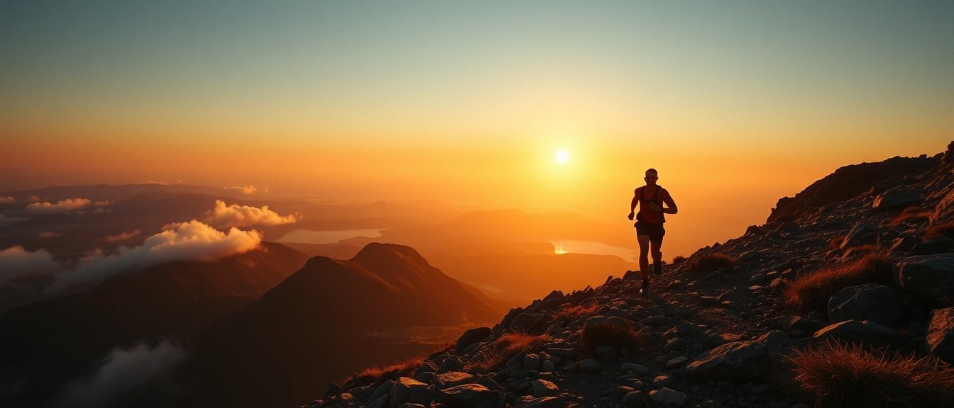
United Kingdom · 56.7969°N, 5.0037°W · summit 1,345 m
Ben Nevis Ridge Line
Sat–Sun · 06–07 Dec 2026
Fort William · Glen Nevis basecamp
3 races, one weekend, one fire
Choose your race — the data below updates
→
15K Night Burn
technical grade 2 / 5True distance
15.4 km
Vertical gain
+780 m
Vertical loss
−780 m
Highest point
743 m
Technicality
Runnable forest track and open hillside. One rocky descent. Nav easy with the marked route.
Elevation profile · 15.4 km
Route file & maps
Load the exact route to your watch before you travel. Signal in the glen is patchy — don't rely on it on the day.
Mandatory kit · checked at start
→
42K Ridge Line
technical grade 4 / 5True distance
43.1 km
Vertical gain
+2,240 m
Vertical loss
−2,240 m
Highest point
1,214 m
Technicality
Exposed ridge, loose scree, two scrambling sections. Serious in poor visibility. Poles recommended.
Elevation profile · 43.1 km
Route file & maps
The ridge line is the whole point. Study the descent notes in the GPX — the drop off the summit is where people lose the route.
Mandatory kit · checked at start
→
80K Ultra Crucible
technical grade 5 / 5True distance
81.6 km
Vertical gain
+4,050 m
Vertical loss
−4,050 m
Highest point
1,345 m
Technicality
Full mountain day and night. Summit of Ben Nevis, two ridges, a river crossing. Cut-offs at 20K, 48K and 65K.
Elevation profile · 81.6 km
Route file & maps
81 km with the full kit list is a big commitment. Recce the first climb if you can. The GPX includes checkpoint and cut-off markers.
Mandatory kit · checked at start & at 48K
Get on the start list.
Entry covers the weekend: your race, GPX, basecamp camping, the fire, and as much soup as you can hold. Capped at 300 per race.
Register for the weekend →