United Kingdom · summit 1,345 m
Ben Nevis Ridge Line
Sat–Sun · 06–07 Dec 2025
Fort William
Choose your race — the data below updates
→
15K Night Burn
technical grade 2 / 5True distance
15.4 km
Vertical gain
+780 m
Vertical loss
−780 m
Highest point
743 m
Technicality
Runnable forest track and open hillside. One rocky descent. Nav easy with the marked route.
Elevation profile · 15.4 km
Route file & maps
Load the exact route to your watch before you travel. Signal in the glen is patchy — don't rely on it on the day.
Mandatory kit · checked at start
→
42K Ridge Line
technical grade 4 / 5True distance
43.1 km
Vertical gain
+2,240 m
Vertical loss
−2,240 m
Highest point
1,214 m
Technicality
Exposed ridge, loose scree, two scrambling sections. Serious in poor visibility. Poles recommended.
Elevation profile · 43.1 km
Route file & maps
The ridge line is the whole point. Study the descent notes in the GPX — the drop off the summit is where people lose the route.
Mandatory kit · checked at start
→
80K Ultra Crucible
technical grade 5 / 5True distance
81.6 km
Vertical gain
+4,050 m
Vertical loss
−4,050 m
Highest point
1,345 m
Technicality
Full mountain day and night. Summit of Ben Nevis, two ridges, a river crossing. Cut-offs at 20K, 48K and 65K.
Elevation profile · 81.6 km
Route file & maps
81 km with the full kit list is a big commitment. Recce the first climb if you can. The GPX includes checkpoint and cut-off markers.
Mandatory kit · checked at start & at 48K
25·12
Ben Nevis Ridge Line
Sat–Sun · 06–07 Dec 2025 · Fort William

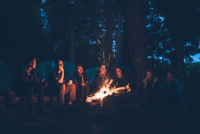
Race film · 18:07
Sleet on the ridge · 1:44
+ 187 more photos — full gallery, free to runners, link lands with the edit
“Sideways sleet for two hours. Dried out by the fire, signed up for the next one before I'd finished my soup.”— Tom H., 42K
61,400mTotal vert climbed, one weekend
23DNFs, all walked in warm and accounted for
2Marriage proposals at the fire